| |
Presidential
Candidate | Vice Presidential
Candidate | Political
Party | Popular Vote | Electoral Vote |
 | Franklin Roosevelt | Henry Wallace | Democrat |
145,698 |
58.78% | 4 |
 | Wendell Willkie | Charles McNary | Republican |
99,579 |
40.17% | 0 |
 | Norman Thomas | Maynard Krueger | Socialist |
1,443 |
0.58% | 0 |
| Roger Babson | Edgar Moorman | Prohibition |
664 |
0.27% | 0 |
| Earl Browder | James Ford | Communist |
489 |
0.20% | 0 |
 |
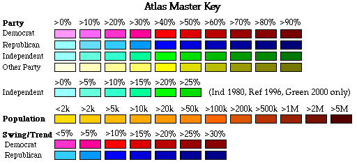
Map Key
| Turnout
 |  |  |
|
| Maps | County Map (m) |  | | Pop. (m) | | Dem. (m) | | Rep. (m) | | Swg (m) | | Tnd (m) |
| |
| Demographic Data
| 1940 Population: | 559,456 | Enum. | 1940 Population Density: | 1.5 | persons/km2 | | 1930 Population: | 537,606 | Enum. | 1930 Population Density: | 1.4 | persons/km2 | | Total Electoral Vote: | 4 | | Electoral Vote Density: | 139,864 | persons/EV | | Land Area (2000): | 376,979 | km2 | Annual Pop Growth Rate: | 0.4 | % |
| Election Data and Statistics:
- County Data (Table) (m)
- County Data (Graphs) (m)
|
| | Election Tools
- Atlas Forum Image Code for Maps: County, Pop, Tnd, Swg
Data Sources:
- Source for Popular Vote data: Montana Secretary of State, Official Montana General Election Returns November 5, 1940 (Helena, 0)
- Source for Population data: U.S. Census Bureau.
| Results for and Individual County:
|
|
| |


