| |
Presidential
Candidate | Vice Presidential
Candidate | Political
Party | Popular Vote | Electoral Vote |
 | Herbert Hoover | Charles Curtis | Republican |
1,453,540 |
50.84% | 36 |
 | Franklin Roosevelt | John Garner | Democratic |
1,295,948 |
45.33% | 0 |
 | Norman Thomas | James Maurer | Socialist |
91,223 |
3.19% | 0 |
| William Upshaw | Frank Regan | Prohibition |
11,369 |
0.40% | 0 |
| Other (+) | - | - |
7,097 |
0.25% | 0 |
 |
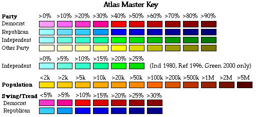
Map Key
| Turnout
 |  |  |
|
| Maps | County Map (m) |  | | Rep. (m) | | Dem. (m) | | Swg (m) | | Tnd (m) |
| |
| Demographic Data
| 1940 Population: | 9,900,180 | Enum. | 1940 Population Density: | 85.3 | persons/km2 | | 1930 Population: | 9,631,350 | Enum. | 1930 Population Density: | 83.0 | persons/km2 | | Total Electoral Vote: | 36 | | | Land Area (2000): | 116,074 | km2 | Annual Pop Growth Rate: | 0.3 | % |
| Election Data and Statistics:
- County Data (Table) (m)
- County Data (Graphs) (m)
|
| | Election Tools
- Atlas Forum Image Code for Maps: County, Tnd, Swg
Data Sources:
- Source for Popular Vote data: Pennsylvania Bureau of Publications, "Official Vote for Presidential Electors, November 8, 1932," The Pennsylvania Manual 1933 (Harrisburg, 1933)
- Source for Population data: U.S. Census Bureau.
| Results for and Individual County:
|
|
| |


