
File:Statewide-map.gif
From AtlasWiki
No higher resolution available.
Statewide-map.gif (770 × 441 pixels, file size: 116 KB, MIME type: image/gif)
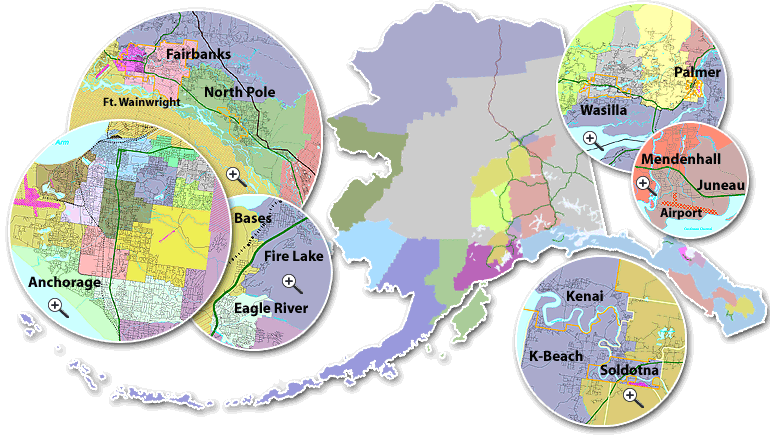
Alaska state-wide election district map
File history
Click on a date/time to view the file as it appeared at that time.
| Date/Time | Thumbnail | Dimensions | User | Comment | |
|---|---|---|---|---|---|
| current | 08:47, 25 August 2005 | | 770 × 441 (116 KB) | Leip (talk | contribs) | Alaska state-wide election district map |
- You cannot overwrite this file.
File usage
The following page links to this file: